
Walk a Madison County Street
A Madison County street directory search works best as a chain, not a single query. The assessment roll identifies the parcel and the name tied to its tax record. The county GIS viewer places that parcel beside the lots around it. Recorded deeds then establish the transfer trail. Voter files and old directories may add a date-specific resident clue, but neither proves that every person at an address is listed. Start with the full street number, direction, suffix, city, and unit when known.
- Enter a house-number range, street name, and city in DEVNET wEdge. Save the PIN, owner, situs address, and separate mailing address.
- Carry the PIN into the Madison County GIS viewer. Pan along the block and note adjacent parcel numbers.
- Use the owner or PIN in the Recorder search. Read the deed, legal description, and prior grantor rather than treating a tax card as title proof.
- Consult county voter data only for a permitted political purpose and retain the list date. It is not a general household list.
- For an older household, search the same number and street in a dated directory, then compare a census, newspaper, or map.
This order keeps ownership, delivery, registration, and occupancy from being mixed. Repeat the chain parcel by parcel for a whole street segment.
Search Madison County by Address
DEVNET is the strongest first stop for a current street range. Its parcel form accepts one main criterion and offers filters that can reduce a long road to a useful group of records. The current portal exposes the fields below, but it does not publish the first tax year available. County staff remains the authority when a result conflicts with an official assessment record.
| Field | Use in a street search | Important limit |
|---|---|---|
| House Number Low / High | Sets a numbered street segment | Use with Street Name and City |
| Street Name | Finds parcels by situs street | Try old or alternate text if no result |
| Parcel Number | Targets one 15 to 18 digit PIN | Format may include a suffix |
| Owner Name | Finds an assessment owner | Does not list all occupants |
| Address / Mailing City / ZIP | Filters tax-mail destinations | Not the same as situs |
| Township / Class / Tax District | Narrows common street names | Advanced values come from the portal |
| Sale Date / Document Number | Bridges a parcel to a transfer | Confirm in the recorded deed |
The mailing address can be a useful next clue for a deed search, yet it is never proof that the owner occupies the site. Exemption, class, and sale fields also need context.
Decode Madison County Parcel Terms
Street text is only one way Madison County identifies land. Rural tracts and older instruments may be indexed by parcel, subdivision, lot and block, or metes and bounds. A metes-and-bounds description defines land through measured courses and boundaries. The county's sample PIN format shows why saving the exact number matters when names or addresses change.
- Parcel or PIN
- The county identifier used to connect assessment, map, and recorded-land records.
- Situs address
- The physical location of the parcel, which may differ from the tax mailing address.
- Plat
- A recorded map showing subdivision lots, blocks, boundaries, and related land details.
- Criss-cross directory
- A directory arranged by street and number, when a volume truly includes that address section.
If a street query fails, copy the PIN exactly and try the Recorder's parcel, subdivision, lot, block, and township-section-range fields. Do not guess at a missing suffix.
Map Madison County Street Parcels
The public GIS viewer is a visual aid for parcel orientation. Search or zoom to an address, identify the subject parcel, and pan along the same block. Transfer each nearby PIN back to DEVNET. The county interface is JavaScript-driven, and the research did not verify a radius tool, layer names, popup fields, or export controls. It would be wrong to promise functions the live map may not offer.
The map is most useful when two streets share a name, a road crosses township lines, or a legal description refers to a lot rather than a house number. Recorder plats settle the recorded boundary question; GIS helps the reader see which parcel to inspect.
Madison County has 24 townships and 13 township assessors, so a street name alone can be too broad. Alton, Chouteau, Collinsville, Edwardsville, Godfrey, Granite City, Nameoki, Venice, and Wood River are among the township labels that can appear beside a city or postal name. DEVNET's township and tax-district filters can separate two likely results before the map is opened. Keep the postal city, township, and municipality as distinct fields. They describe different layers of the same address.
Note: Save both the parcel number and situs string before leaving the map, since one may work when the other search field does not.
Follow Madison County Street Deeds
The Madison County land-search page directs online users to Tapestry for records after 1984. Search by current owner as grantee, or use document number, parcel, subdivision, lot and block, recording dates, or metes-and-bounds parts. Open or order the deed, note its grantor, then search that seller as a grantee to move back one transfer.
The Recorder states that county land records begin in 1812. That does not mean every deed is online. Earlier work moves to public terminals, the vault, deed books, or IRAD. Copy requests may be sent by email, with the county's normal email turnaround listed as five to seven business days. Counter copies are listed at $1 per page and emailed copies at $2 per page. The office does not perform title searches.
The official Recorder land-search page explains the online and office routes.
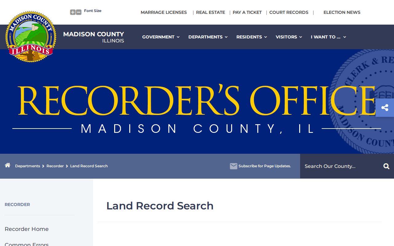
The capture reinforces the key cutoff: current web access and the much older land books are not the same collection.
Madison County Street Record Sources
No source supplies a complete Madison County street directory. The records below overlap, but each describes a different layer. Use their access limits to choose the right fallback when the web form does not answer the question.
| Address source | Custodian | Street evidence | Access route |
|---|---|---|---|
| Parcel roll | Chief County Assessment Office | Owner, PIN, situs, mailing, sales, class | Free DEVNET search; staff correction route |
| Parcel map | Madison County GIS | Parcel shape and block orientation | Free JavaScript viewer |
| Deeds, liens and plats | Madison County Recorder | Recorded parties, instruments, legal land | Tapestry after 1984; terminal, vault, email, mail, and books |
| Voter list | County Clerk / Elections | Registration street parts and districts | District, township, or precinct export under Election Code limits |
| Permit and zoning files | County Planning or city custodian | Work, inspections, subdivisions, nuisance and zoning | Counter or Illinois FOIA request |
| Dated directories and maps | Hayner, libraries and archives | Published occupant and historic block clues | Reading room, licensed database, scan, microform, or staff help |
The PIN is the most stable bridge between current parcel and deed sources. A street string is more useful in voter exports, permit requests, directories, and Sanborn indexes.
Request Madison County Address Files
No live countywide permit index was located. For an unincorporated parcel, ask Planning and Development for building permits, subdivision files, zoning-board files, zoning maps, nuisance records, flood files, or related water records. Give the situs address, PIN, and a date range. Inside city limits, send the request to that municipality instead.
The county permit and inspection page shows the correct office route for unincorporated Madison County.
A permit may date work or an inspection. It does not identify every owner or occupant. If staff cannot supply a routine file, a focused request under the Illinois Freedom of Information Act, 5 ILCS 140, is the documented fallback.
Describe the file rather than asking the office to research a whole street. A useful request names the address range, parcel numbers if known, record type, and date span. County records may include subdivision, zoning-board, nuisance, flood, water, and zoning-map material. Municipal records remain with the city that created them. Edwardsville, Alton, Granite City, and other incorporated places therefore require their own clerk or records custodian instead of the county planning counter. Illinois FOIA does not make a private or exempt field public, but it supplies a written route when no online index exists.
Use Madison County Voter Streets
The county's Voter Lists tool exports one row per listed voter by district, township, or precinct. Address columns separate street number, half number, direction, name, type, post-direction, city, and ZIP. Township and district fields make the data useful for civic research along a street.
The official voter-list export screen is not an open-purpose resident roster.
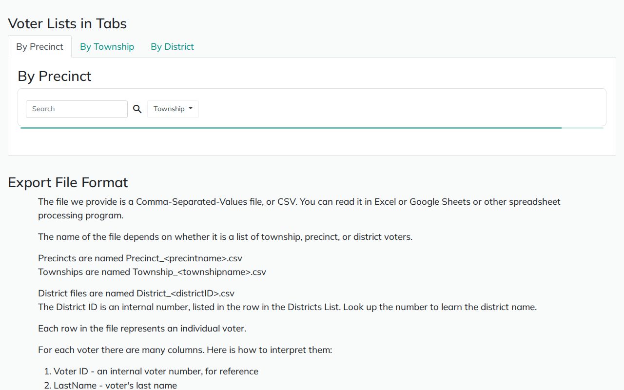
Illinois Election Code limits use to bona fide political purposes and protects fields such as phone, Social Security number, date of birth, and email. Record the download date. A voter row shows registration, not every person in a home and not certain current occupancy.
Bridge Old Madison County Streets
Madison County's 9-1-1 addressing system was approved in 1989 and became operational in 1992. No verified countywide renumbering schedule was found. Older address work must therefore compare city ordinances, plats, directory street indexes, Sanborn maps, and newspaper notices. Historical labels such as Upper Alton, North Alton, Leclaire, Fosterburg, and Gillham may appear where a current system uses another place or township name.
Alton Sanborn sets survive for 1892, 1897, and 1915 at the Library of Congress, while the University of Illinois adds sets for 1897, 1903, 1916, and a 1926 run of 82 leaves. They show street, block, building, and construction context, not title. Pair a map with a dated directory, then confirm ownership in deeds. The full historical shelf belongs on the Madison County city directories page.
Place names can change even when the land does not. Leclaire was annexed to Edwardsville in the 1930s. Gillham Township became Chouteau in 1876, and Fosterburg became Foster after 1921. Upper Alton, North Alton, East Alton, Wood River, Moro, and Godfrey can also appear as distinct labels in older sources. Search both the old and current name, then use the directory's street index or the Sanborn key to identify the block. A current ZIP filter cannot resolve an annexation or former township name.
The county 9-1-1 coordinator maintains a comprehensive property-address file and accepts address requests from residents, developers, and builders. That office is the documented route for a disputed or newly assigned address. For a historic number, a city ordinance, subdivision plat, newspaper notice, or map key may provide the bridge. Do not infer a countywide renumbering event, because the research found no official schedule supporting one.
Note: Treat every directory address as a statement tied to its publication year, not as a precise move-in or move-out date.
Limits of Madison County Street Records
A street directory cannot reveal every person who lives behind a door. Assessment records name the owner or taxpayer, not all occupants. Voter data includes only registered voters subject to redaction and use limits. Old directories list the people and firms the publisher captured in that year. Utility customer lists were not located as public county records, and federal law restricts motor-vehicle address data.
Protected voters and participants in Illinois Safe at Home may use substitute or suppressed address information. Sealed records and private household details remain outside the public chain. When two sources disagree, confirm the parcel through county staff and the recorded instrument through the Recorder.
Lawful use. Use Madison County address records only for lawful personal, family, property, or civic research. Never use them to stalk, harass, intimidate, or harm another person.