
Madison County ZIP Coverage
The official 2020 Census relationship file identifies 36 ZCTAs, or Census statistical ZIP approximations, that intersect Madison County. This is a geography list, not a USPS promise that every address belongs to the county. Edge overlaps and postal names outside Madison County remain in the inventory because they reveal why a ZIP code cannot stand in for a city or county boundary.
| ZIP Code | Areas Covered | Post Office | Notes |
|---|---|---|---|
| 62001 | Alhambra | Standard | May cross village or county line |
| 62002 | Alton | Standard | Alton and Godfrey records may split |
| 62010 | Bethalto | Standard | Verify situs municipality |
| 62012 | Brighton | Standard edge overlap | Postal city may fall outside county |
| 62018, 62021 | Cottage Hills, Dorsey | Standard | Check unincorporated or rural situs |
| 62024 | East Alton | Standard | Local custodians differ |
| 62025 | Edwardsville | Standard | County-seat postal city |
| 62026 | Edwardsville | Unique or PO-box style | Not the same geography as 62025 |
| 62034, 62035 | Glen Carbon, Godfrey | Standard | Verify municipal jurisdiction |
| 62040 | Granite City | Standard | City and county records differ |
| 62046, 62058 | Hamel, Livingston | PO-box style | Not a physical neighborhood claim |
| 62048, 62060 | Hartford, Madison | Standard | River corridor, verify parcel |
| 62061, 62062, 62067 | Marine, Maryville, Moro | Standard | Township or village may differ |
| 62074, 62084 | New Douglas, Roxana | Standard | County or municipal overlap possible |
| 62086, 62088 | Sorento, Staunton | Edge overlap | Confirm current USPS assignment |
| 62087, 62090, 62095, 62097 | South Roxana, Venice, Wood River, Worden | Standard | Use exact address |
| 62201, 62216 | East St. Louis, Aviston | Edge overlap | Postal label does not prove county |
| 62234, 62249 | Collinsville, Highland | Standard | Local boundaries need checking |
| 62254, 62275 | Lebanon, Pocahontas | Edge overlap | Verify county and municipality |
| 62281, 62293, 62294 | Saint Jacob, Trenton, Troy | Standard or edge | Postal and civic labels may differ |
The narrower Illinois HFS service list names 24 Madison County ZIPs, but it serves a program purpose and is not a boundary map. Exact current station assignments were not published for every overlap. This Madison County ZIP code directory therefore sends a full address to USPS and reserves the Postmaster Finder for office history or station research.
Madison County Edwardsville ZIPs
Edwardsville shows the chief ZIP code directory quirk. The county-seat list corroborates 62025 for Edwardsville, while the working inventory also contains 62026 as a unique or PO-box-style designation. The shared city label does not make the two delivery geographies interchangeable.
Enter the complete street address in the USPS ZIP Code Lookup before searching a resident roll. Save the USPS delivery string separately from the parcel situs and deed's legal description. A township or Leclaire reference may also appear in older sources.
Madison County ZIPs and ZCTAs
The Census creates ZCTAs as broad statistical representations of USPS ZIP code areas. USPS builds ZIPs for mail delivery. These are related but not identical systems, so a Census ZCTA boundary cannot certify the delivery code for a house.
The Census county relationship file is the source for the county overlap count.
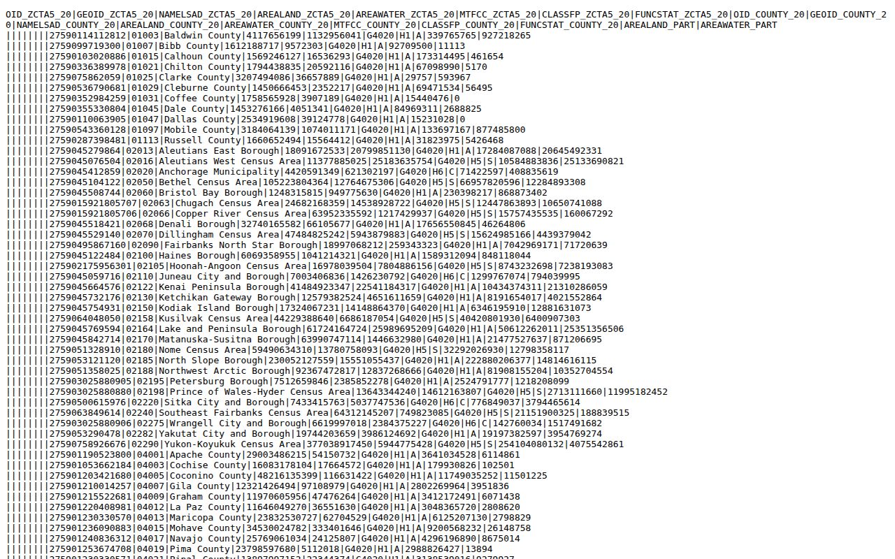
The captured national file supports geographic comparison, while exact residents and addresses still require a local roll or USPS verification.
The Illinois HFS list offers a second, narrower program view of Madison County service ZIPs.
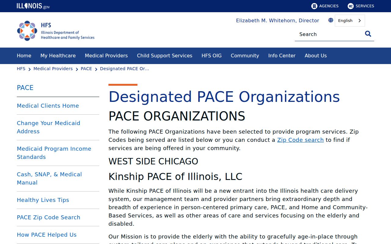
The two lists differ because they answer different questions. Neither should be relabeled as a legal county boundary.
Search Madison County by ZIP
Two local record systems expose ZIP data in different ways. DEVNET accepts ZIP within the owner and mailing-address fields. The county voter export includes ZIP among registration-address columns, but users first select district, township, or precinct. There is no simple public countywide voter query by ZIP.
- Confirm the exact address or preferred city through USPS. Do not begin with a guessed municipal boundary.
- Enter the ZIP in DEVNET's mailing-address filter, then open each likely parcel and inspect the situs address.
- For voter research allowed by Illinois law, choose the proper district, township, or precinct export and filter its dated ZIP column.
- Move from the ZIP to a street or parcel. Compare names, dates, and record roles before drawing a resident link.
A ZIP result is a first cut, not a resident list. DEVNET's field is a mailing ZIP, which may differ from the physical parcel. Once the area is narrow, the Madison County street directory handles address-level work.
Madison County ZIP Search Fields
The DEVNET wEdge parcel portal offers several fields that help test a ZIP-based result. Use one main criterion first, then narrow carefully. The ZIP box sits with mailing fields, not the situs street controls.
| Field | Type | How It Helps |
|---|---|---|
| Zip Code | Text | Filters owner mailing ZIP; not confirmed as situs ZIP |
| Address | Text | Mailing-address line |
| Mailing City and State | Text and dropdown | Tests the postal string paired with the ZIP |
| Street Name | Text | Searches the parcel's physical street |
| House Number Low and High | Number | Narrows a street segment |
| Township | Dropdown | Separates one of Madison County's 24 township layers |
| Parcel Number | Text | Targets a known 15 to 18 digit PIN |
Open the parcel card after any match. It can show owner, situs, mailing address, assessment, sale, and tax facts, but ownership is not occupancy. If a mailing ZIP points outside the county, that may be a valid tax-mail destination.
Check Madison County ZIPs
USPS supplies three useful searches: address to ZIP, city and state to ZIPs, and ZIP to preferred city names. Address lookup requires the street, city, and state, with company and unit fields available. Cities by ZIP starts with the five-digit code. A result confirms postal formatting, not that a person or company occupies the address.
The USPS Postmaster Finder adds post-office history by ZIP.
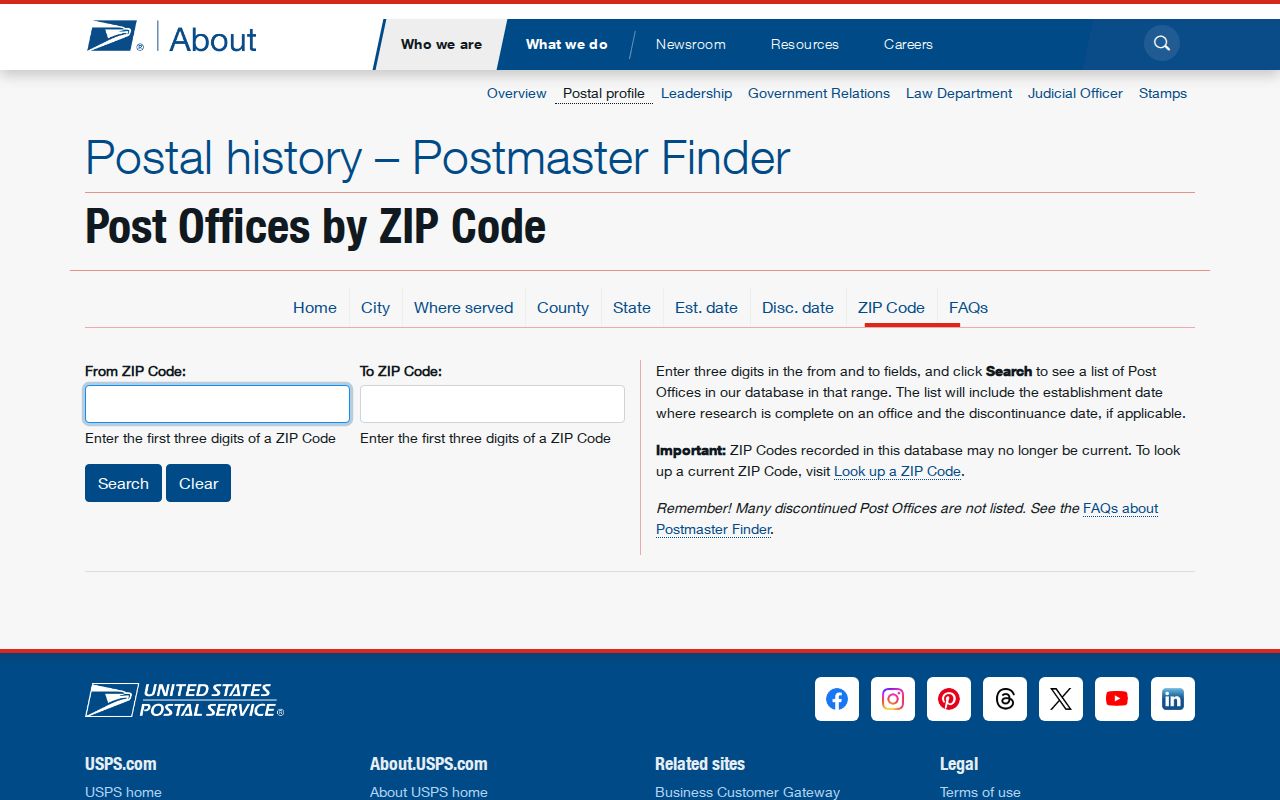
The captured finder is best for office history and naming, while the live address tool remains the right choice for present delivery format.
Historic Madison County Postal Names
Modern ZIP searches do not solve older place labels. Directories and maps may say Alton, Upper Alton, North Alton, East Alton, Wood River, Edwardsville, Leclaire, or a township. Leclaire joined Edwardsville in the 1930s. Alton's mapped districts and river communities also kept distinct labels in historical sources.
Pair an old directory entry with a Sanborn street index, plat, or landownership map. Alton Sanborn sets run from 1892 through later editions, including a 1926 set with 82 leaves plus its title, key, and street index. Those maps show blocks and buildings. They do not prove title or present residence.
No verified ZIP split or realignment year was found for Madison County. Do not invent one. When an old and new address differ, ask municipal or county addressing staff and compare ordinances, maps, deeds, directories, and newspaper notices.
Map Madison County ZIP Geography
Census TIGER/Line files support mapping and analysis. They carry legal boundaries and names as of a stated date, but they are not a resident roster or mail-delivery file. A boundary polygon is useful for seeing an overlap and poor proof for assigning a person to a city.
The Census TIGER/Line page provides the official geographic files.
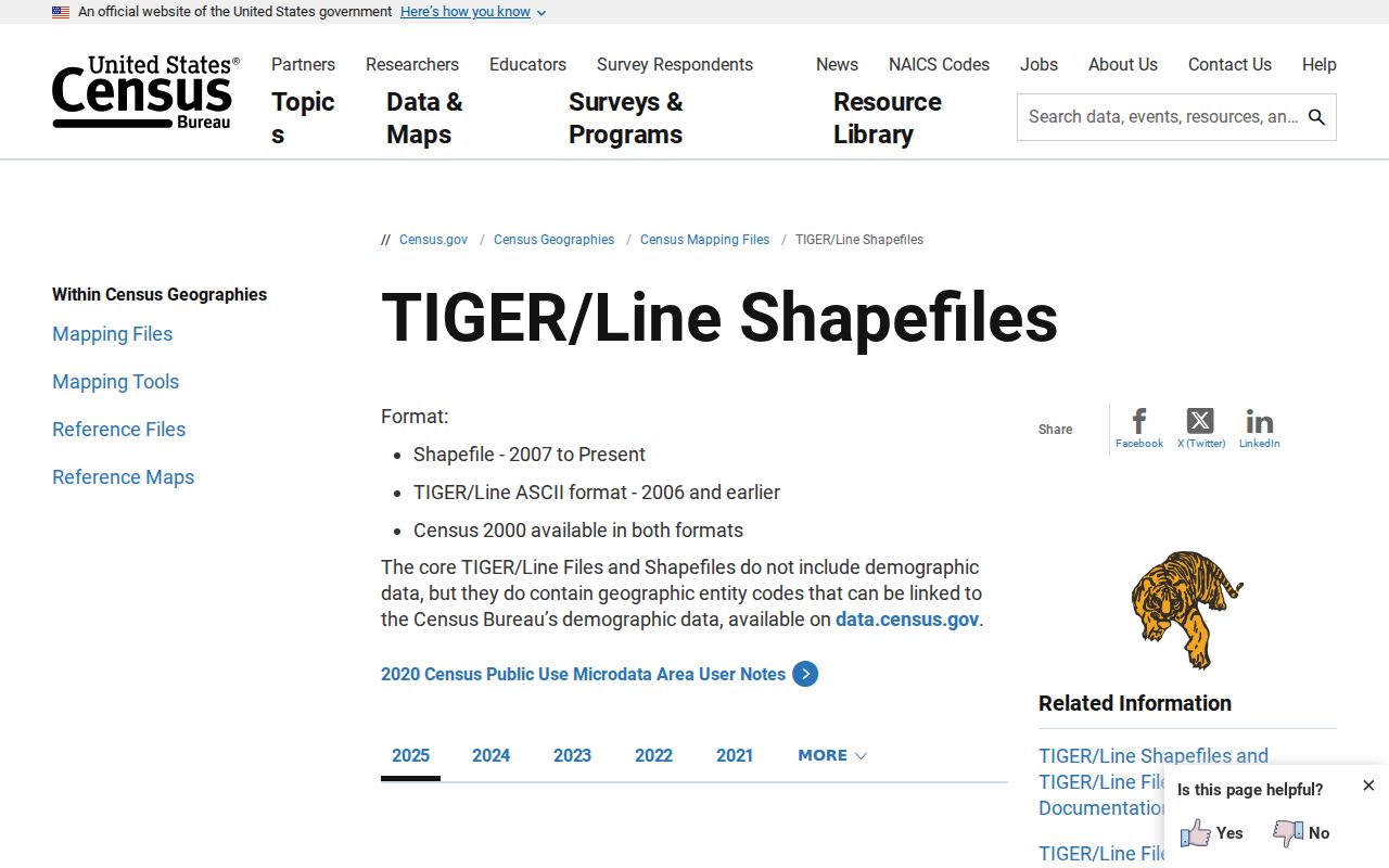
The map files can outline statistical geography. Confirm a real address with USPS and the parcel's local record.
Madison County Voter ZIP Data
The county's public Voter Search is a person-oriented form, not a ZIP code directory. The separate Voter Lists tool exports CSV files by district, township, or precinct. Those dated files can include street number, street name, unit, city, state, and ZIP among registration-address fields, subject to the county notice and Illinois Election Code.
A permitted researcher must preserve the list date and use restrictions. Illinois withholds or restricts sensitive fields, and Safe at Home protections may affect disclosure. Do not treat a downloaded ZIP column as a fresh list of everyone who lives in that postal area. It records registration data as maintained for election purposes.
The right sequence is geographic: identify the township or precinct, obtain the permitted export, filter its ZIP column, and compare each relevant name with a second official record. If the goal becomes a whole named street, switch to the address workflow instead of stretching a postal filter beyond its purpose.
Madison County ZIP Boundary Limits
A ZIP code follows delivery needs, while a municipality follows civic jurisdiction and a township follows another layer of government. Madison County's 715.5 square miles stretch from river cities to the county-seat corridor and rural townships. Postal labels at the county edge can name Brighton, Staunton, East St. Louis, Aviston, Lebanon, Pocahontas, or Trenton without proving that the address is governed by that named city or even lies wholly in Madison County.
This distinction decides which office holds a permit, city minute, vital event, or local police record. First verify the parcel and municipality. Then contact the right custodian. Keep the postal city, situs address, township, parcel PIN, and deed legal description as separate facts.
- ZIP code
- A five-digit USPS delivery-area code, not a legal city boundary.
- ZIP+4
- The base ZIP plus four digits that narrow a delivery segment.
- PO-box ZIP
- A code or listing tied chiefly to post-office boxes, not a physical neighborhood.
- Unique ZIP
- A ZIP assigned for a special high-volume or distinct delivery purpose.
- Carrier route
- A group of addresses served along one postal delivery route.
Note: The Madison County ZIP code directory narrows geography, but only an exact-address check can resolve a parcel, custodian, or resident record.